|
Despite the threat of rain, the students were able to go on a GPS adventure thanks to Mr. John Nelson with the Del Mar GIS program and Anita & Roger Palmer with GIS loaner program. Students used the GPS devices to locate 5 waypoints that were scattered throughout the Del Mar Campus. Once they arrived at the coordinates, students recorded their absolute locations of latitude and longitude. Later students were able to see an aerial view of their path and coordinates on an Arc GIS Explorer map. We also discussed the many applications of this new and widely used geospatial technology. 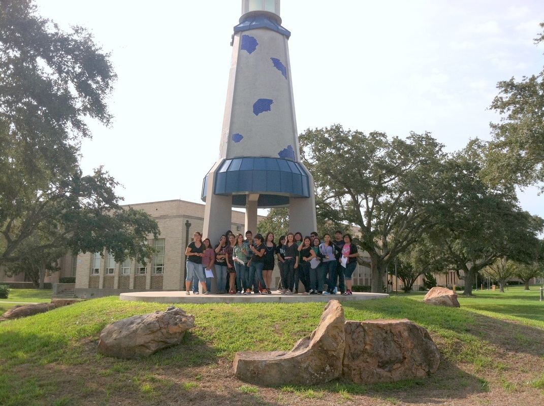 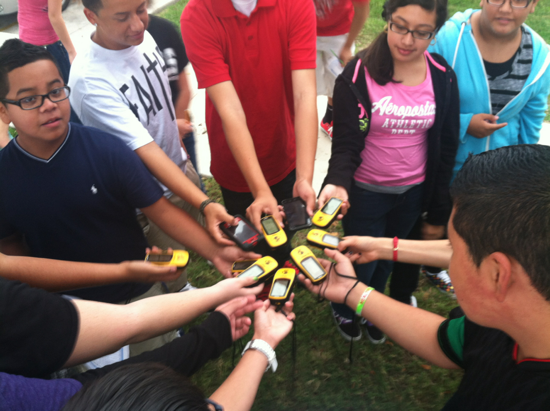 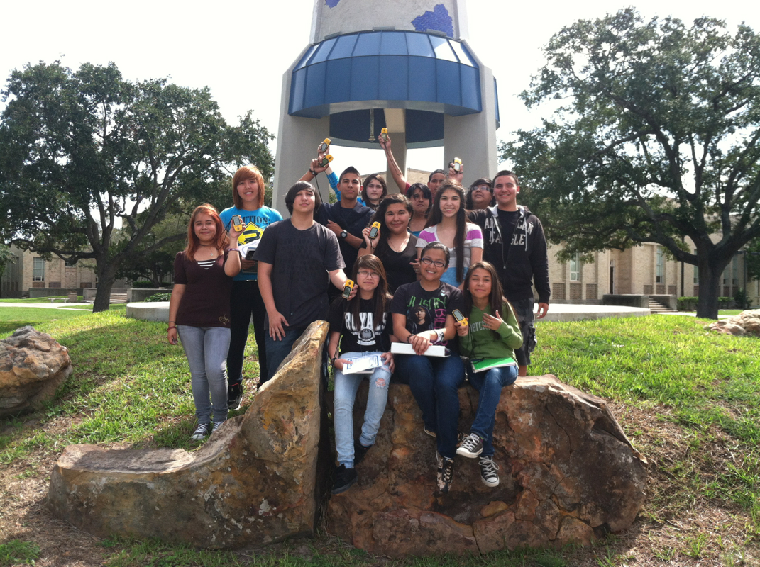 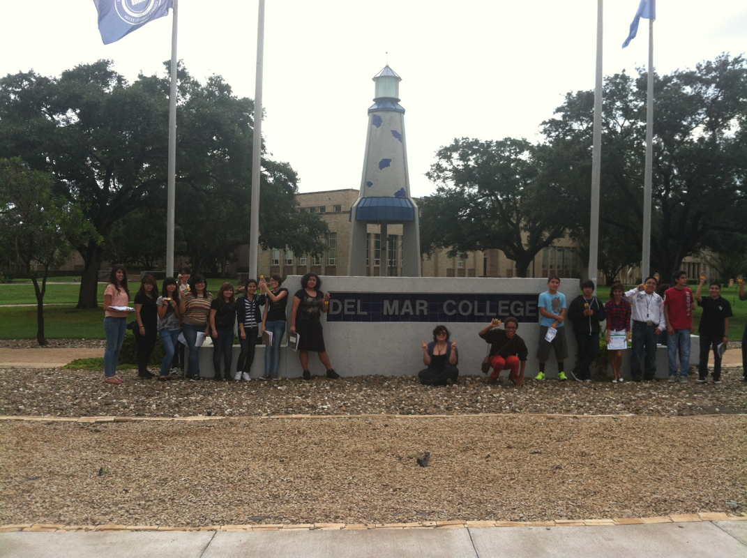 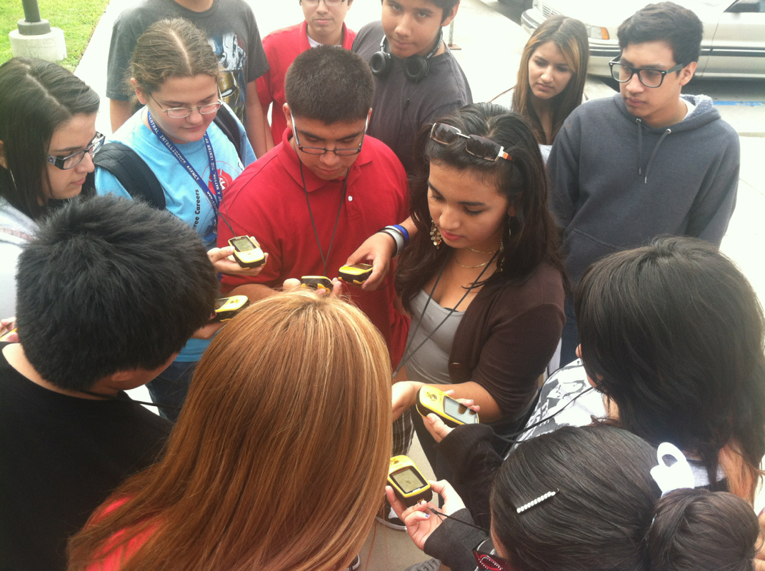 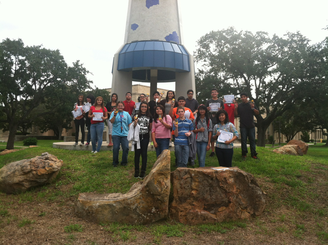
3 Comments
Arlene
1/28/2013 01:43:17 am
I Love One Direction!!!!!
Kimberly
1/28/2013 01:43:57 am
...................
Cookie Monster
1/31/2013 12:24:14 am
0.0 wah wah didnt get caught in the pic thts how awesome i am Leave a Reply. |
 RSS Feed
